Bwlch Archives - MachLoop.co.uk

Introduction to the Mach Loop

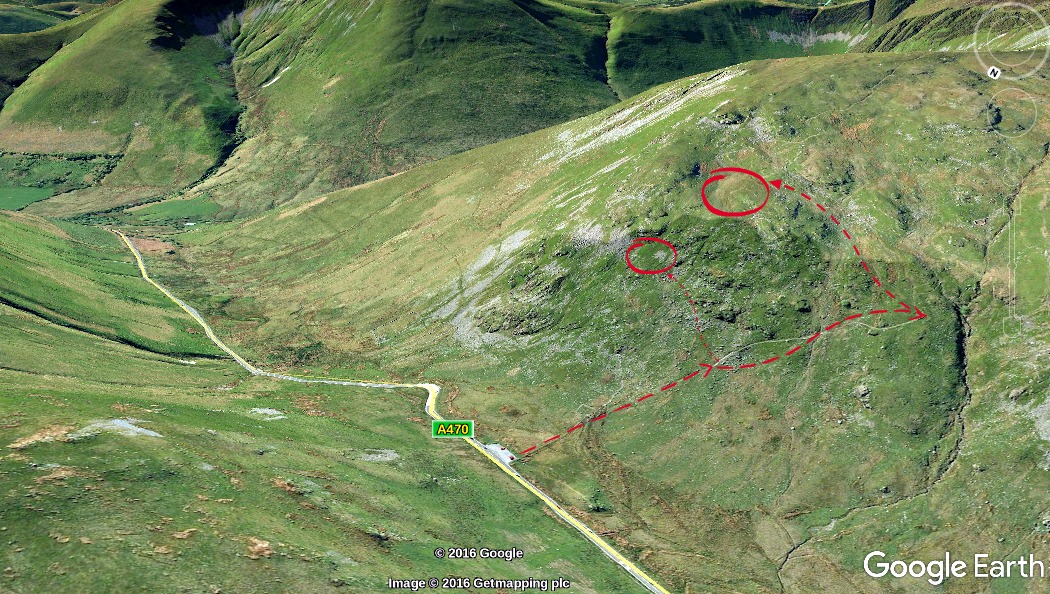
The Mach Loop is a set of valleys, situated between Dolgellau in the north, and Machynlleth in the south (and from which the Mach Loop gets its name), which are regularly used for low level flight training, with flying as low as 250 feet (76 metres) from the nearest terrain.
Map of Mach Loop

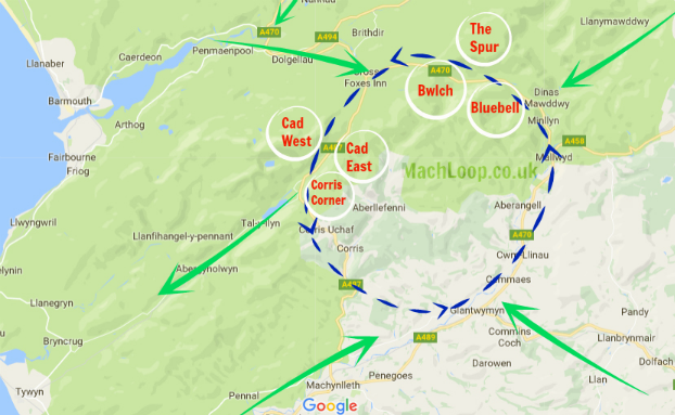
To the south of the Mach Loop there is an area called Tactical Training Area 7T, in which, at specified times, the aircraft may fly as low as 100 feet (30.5 Metres). The Royal Air Force publish a timetable of when the Tactical Training Areas may be in use, however experience shows this to be of little use in determining whether low level flying will take place on a particular day or time.

Low flying is an vital skill for military aircrew, and the Royal Air Force uses various areas of the United Kingdom for low level flight training. The United Kingdom is split into 18 low flying areas, (or “LFAs”), the LFA’s being numbered 1-19 (strangley there is no LFA15). The Ministry of Defence website has a map showing the location of the low fly areas. The Mach Loop is located within LFA7, which covers the whole of Wales, except for a small section in the north-east of Powys, which is within LFA9.

Fly the Virtual Mach Loop in Microsoft Flight Simulator
Flying the Mach Loop virtually is as-close as many of us will ever get to experiencing it. Check out our MSFS Mach loop guide!

Mach Loop Cockpit View from a RAF Typhoon

Bwlch

Bwlch, in the Mach Loop, is a great location if you want a ‘topside’ or ‘level-pass’ view of aircraft. You also get a few seconds heads-up, as the aircraft approach from your right.

This image above is intended purely as a rough guide to finding your way to Bwlch Middle and Top Ledge. The arrows provide you a general flow for the climb – be sure to take care and follow the safest route for you.

Latitude : 52:44:06NLongitude : 3:46:30W

Approximate climb:  Top ledge, around 400 feet. Middle Ledge, roughly 200 feet
Car park distance: Under half a mile
Nearest Post Code:  LL40 2SH

Photos taken from Bwlch: Coming soon!
If you would like to share your photographs taken from this location, please drop us an email to photos@machloop.co.uk. We will gladly provide acknowledgment and a link to your portfolio for any that are used.

Respect and consideration!

Please remember that the majority of these locations fall on privately owned land, so take care if crossing fences or gates – and please do not leave any litter.
The same should also be said to parking your vehicle in a considerate and unobstructive manner.

Common Mach Loop Searches

Cad West

Bwlch

Bwlch Exit –

Bluebell

Corris Corner

mach loop pics –

the mach loop wales –

mach loop photos –

mach loop video

mach loop location –

mach loop photography –

mach loop frequencies

machynlleth loop area –

cad west mach loop

mach loop map –

the mach loop

machynlleth loop –

mach loop hotels

mach loop camping

mach loop camp sites

raf low flying –

low flying in wales –

low flying wales –

mach loop in wales –

mach loop wales –