Viewing Locations
Find Your Perfect Spot
From accessible valley-floor views to dramatic hilltop perches above the jets — the Mach Loop has a spot for every visitor.
Most Popular
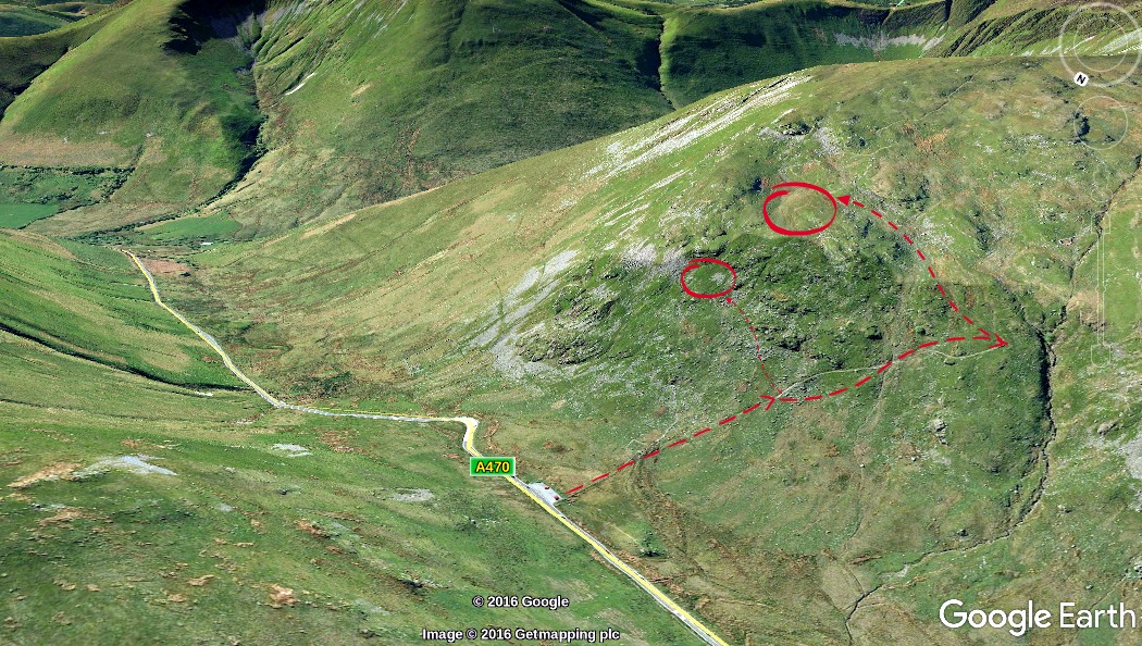
The Bwlch
The iconic spot. Watch jets snake through a narrow valley from directly above.
Full guide →
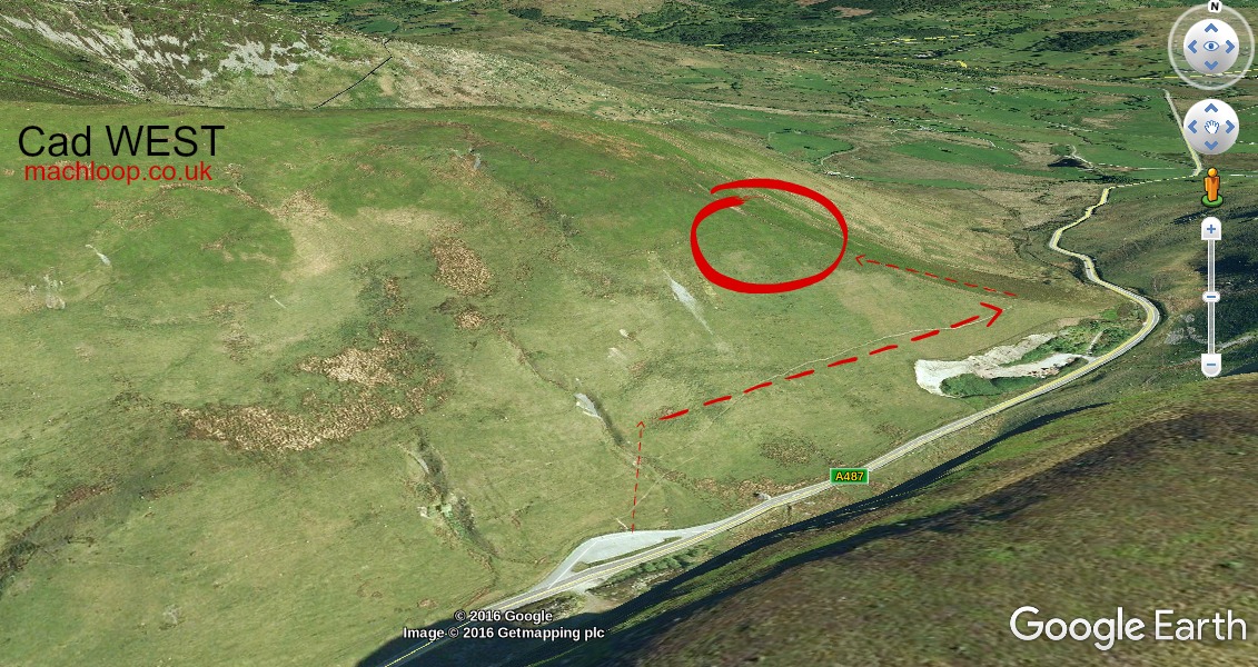
Cad West
Topside or level-pass views. Aircraft sometimes turn into Corris Corner — two passes on one sortie.
Full guide →
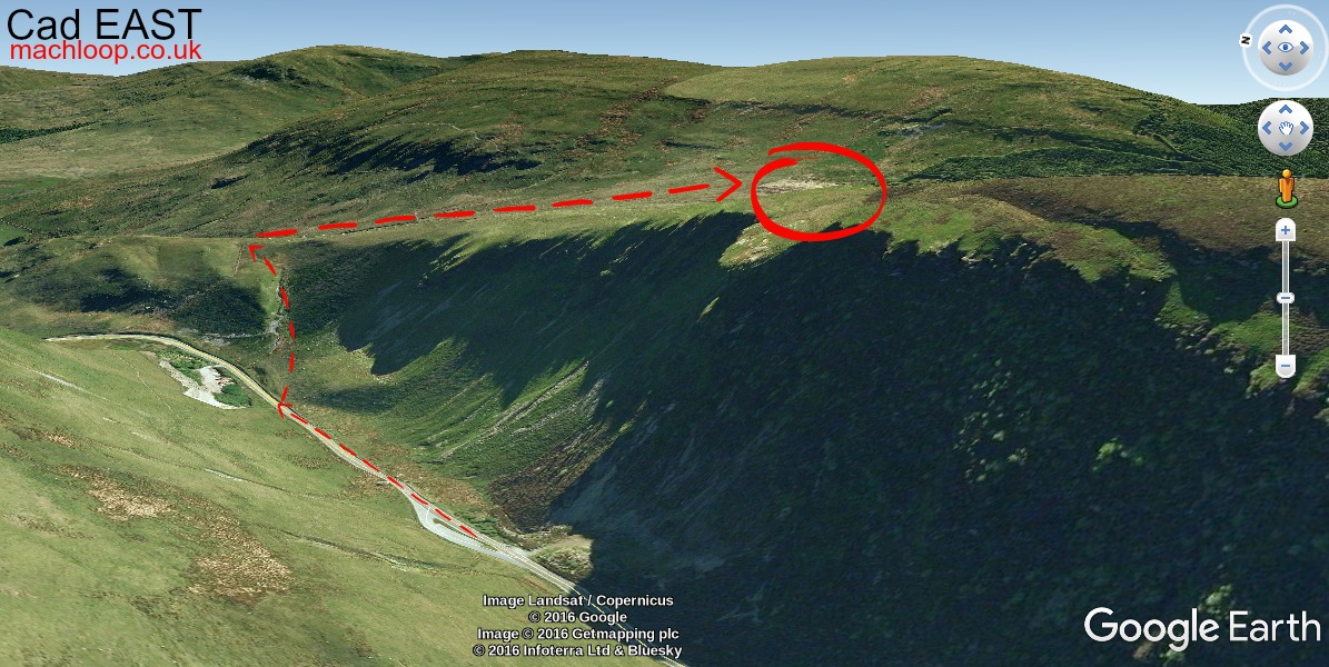
Cad East
Views to Bala and Snowdon. Aircraft arrive from the right with plenty of warning — best for photography beginners.
Full guide →
Accessible
Corris Craft Centre
No climbing needed. Free parking, café on site. The only fully accessible location in the Loop.
Full guide →
📷View from Corris Corner
Corris Corner
Watch aircraft make a sharp banking turn. A very different perspective to the transit views elsewhere.
Full guide →
📷Looking up at Bluebell Hill
Bluebell Hill
Valley-floor spot below the Bwlch flight line. You look up as jets cross directly overhead.
Full guide →